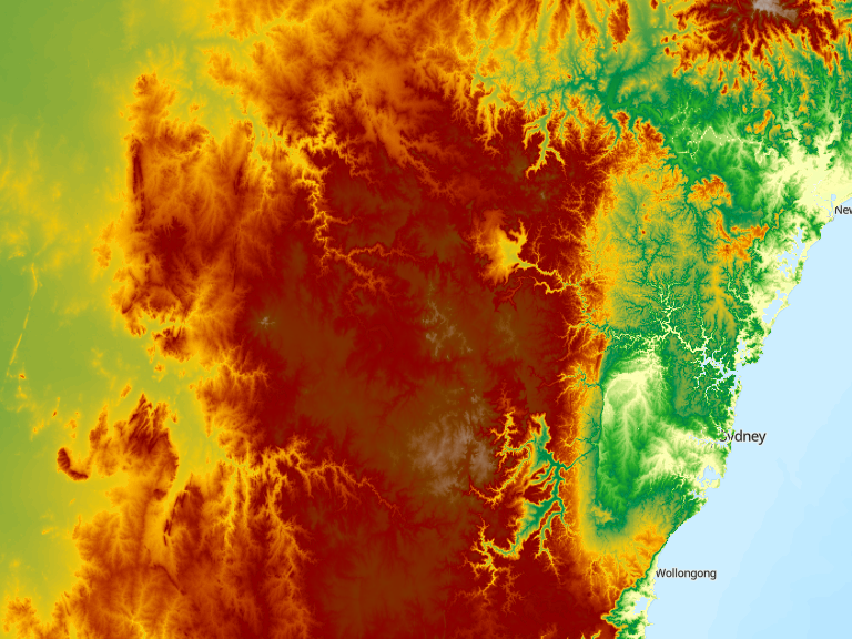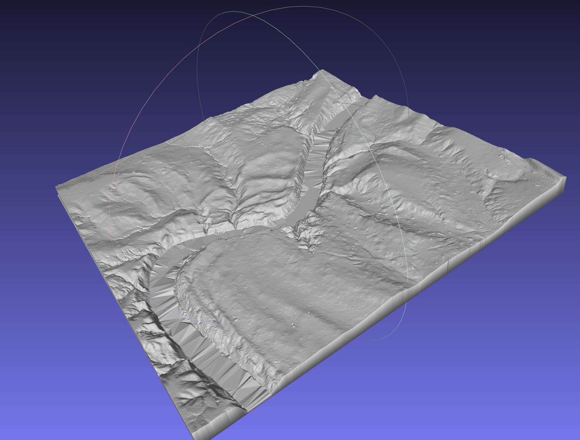
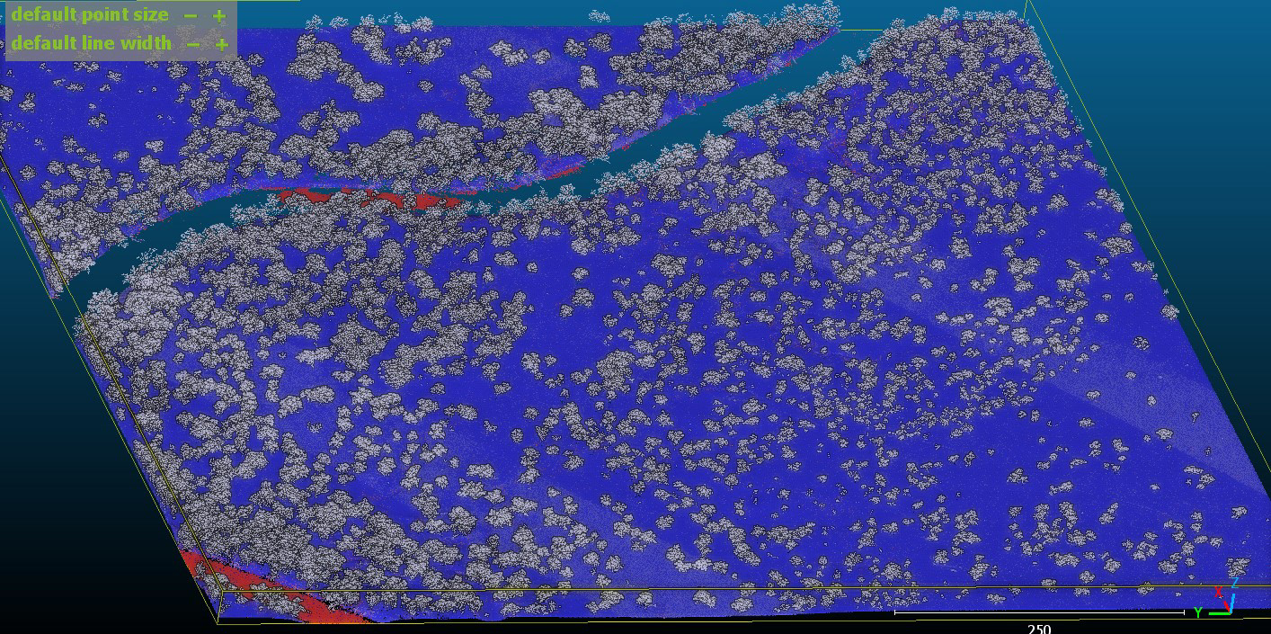
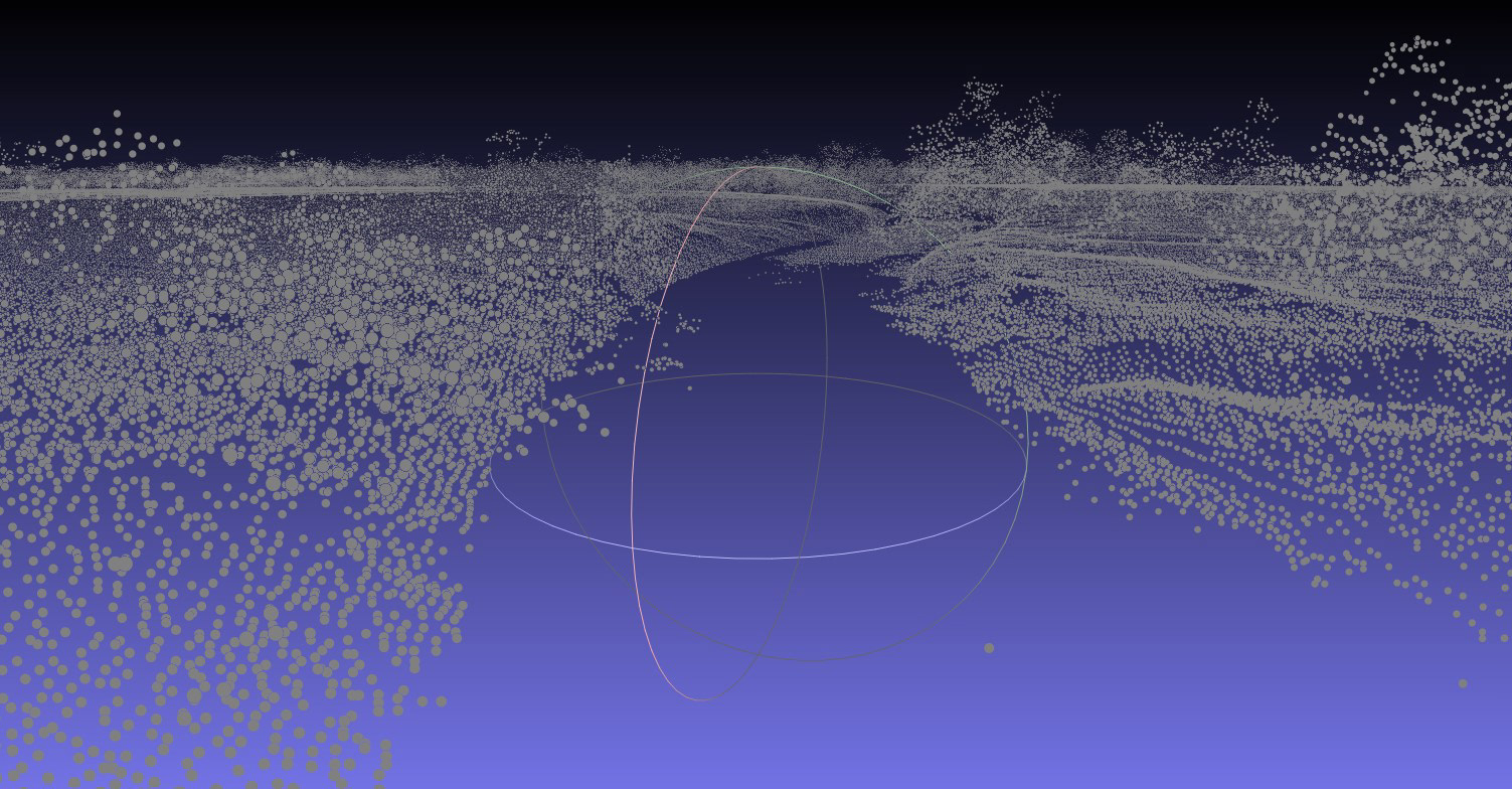
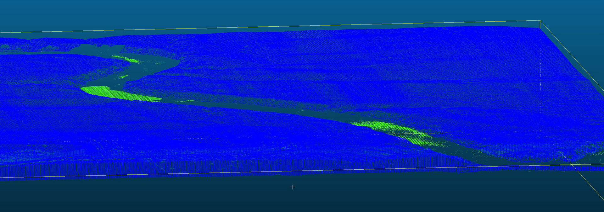
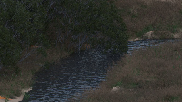
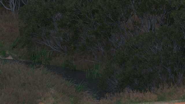
This project collaborated with Sentient Hubs and UNSW City Analytics Labs to create a visual representation of a site map for the Murray Darling basin, aiming to illustrate the topographical transformations over time resulting from human interventions and the impact of climate change.
The project uses professional 3D modelling, rendering, and open-sourcing mapping data to build virtual environments. The 3D renderings allow the viewer to see the inner workings of environmental damage that the untrained eye cannot. The project aims to reimagine digital visual data in a way that is easy for all stakeholders to comprehend.