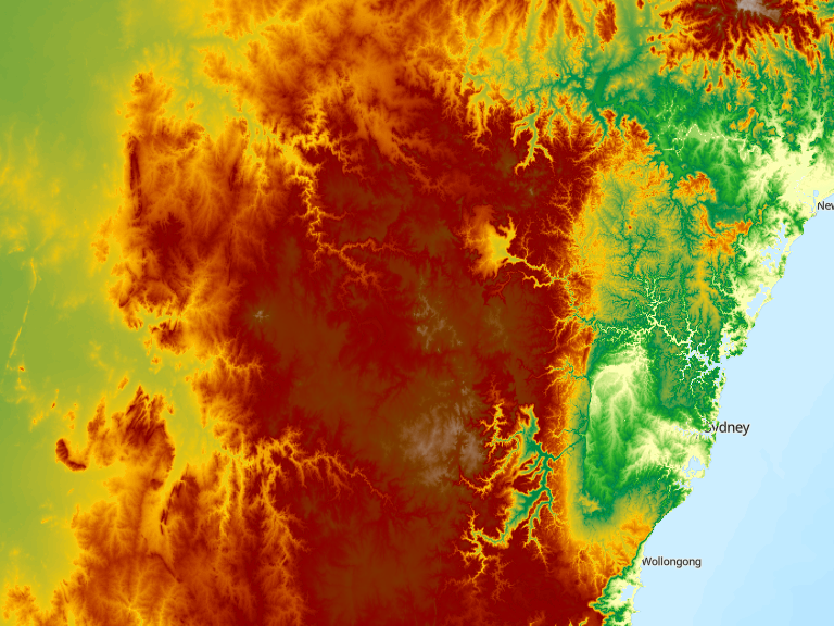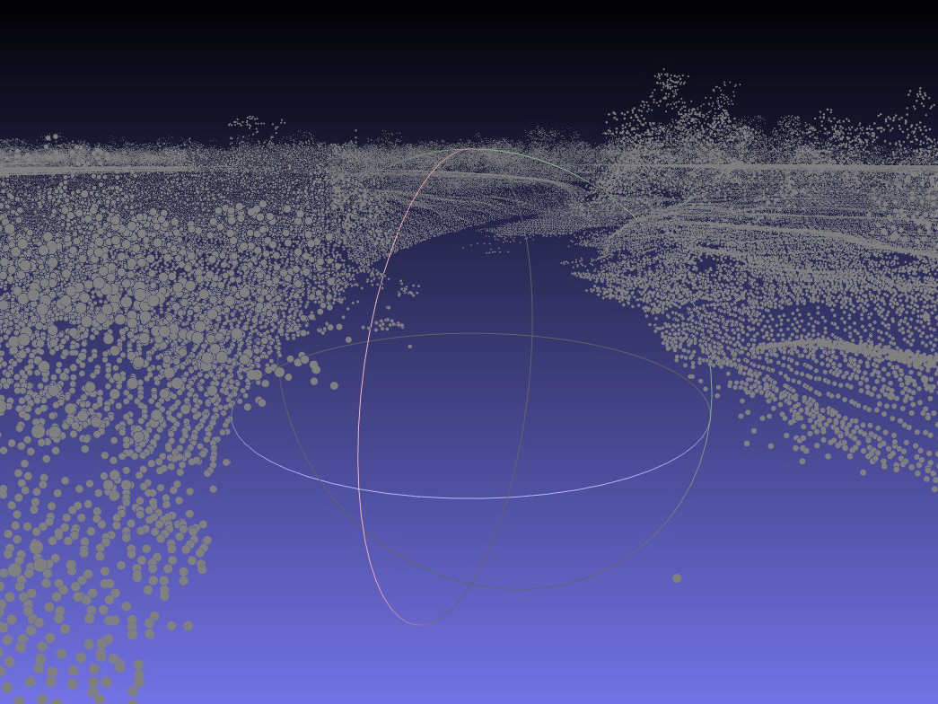


The Immersive Design is a database for the community to use and share thoughts and experiences. It includes Augmented Reality features and local maps to let users visualise the impact of past floods and the predicted impact of future flooding. In addition, councils and organisation experts, such as the Bureau of Meteorology, contribute geological and governmental data. As a result, users gain a deeper insight into what it means to experience a flood in a particular location, such as their home or business, and use the experiential knowledge better to prepare themselves and their communities for the next disaster.
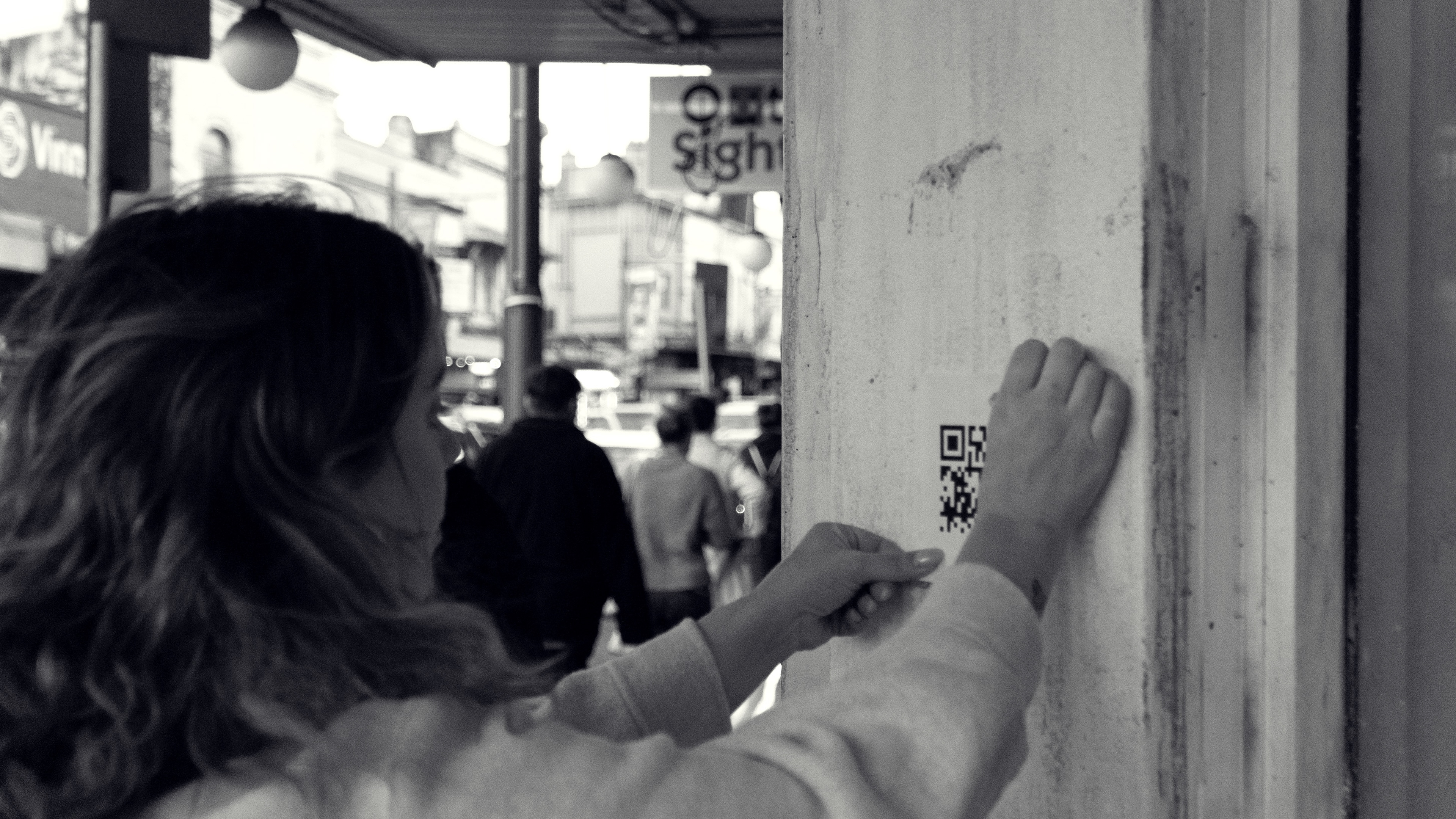
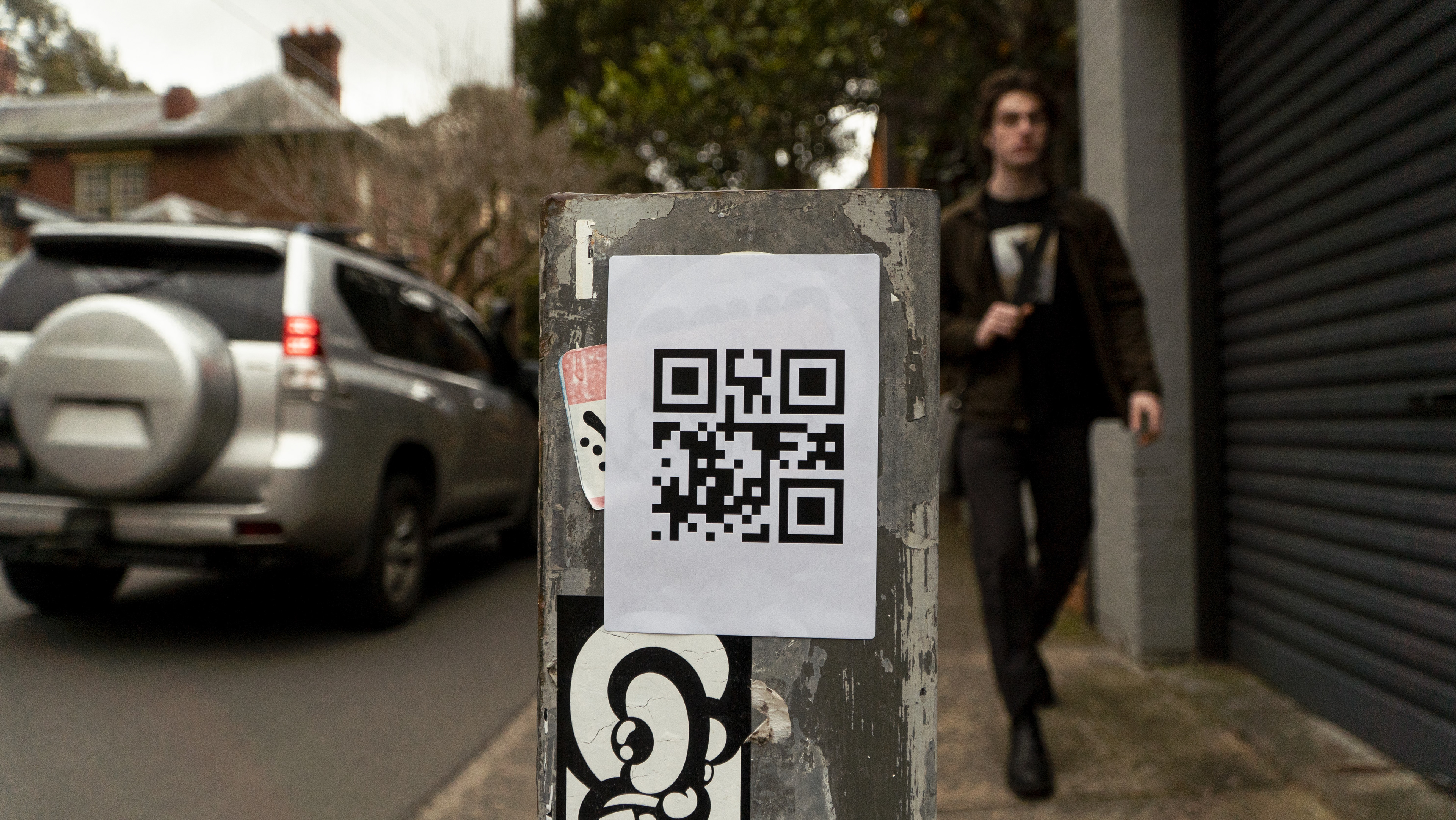
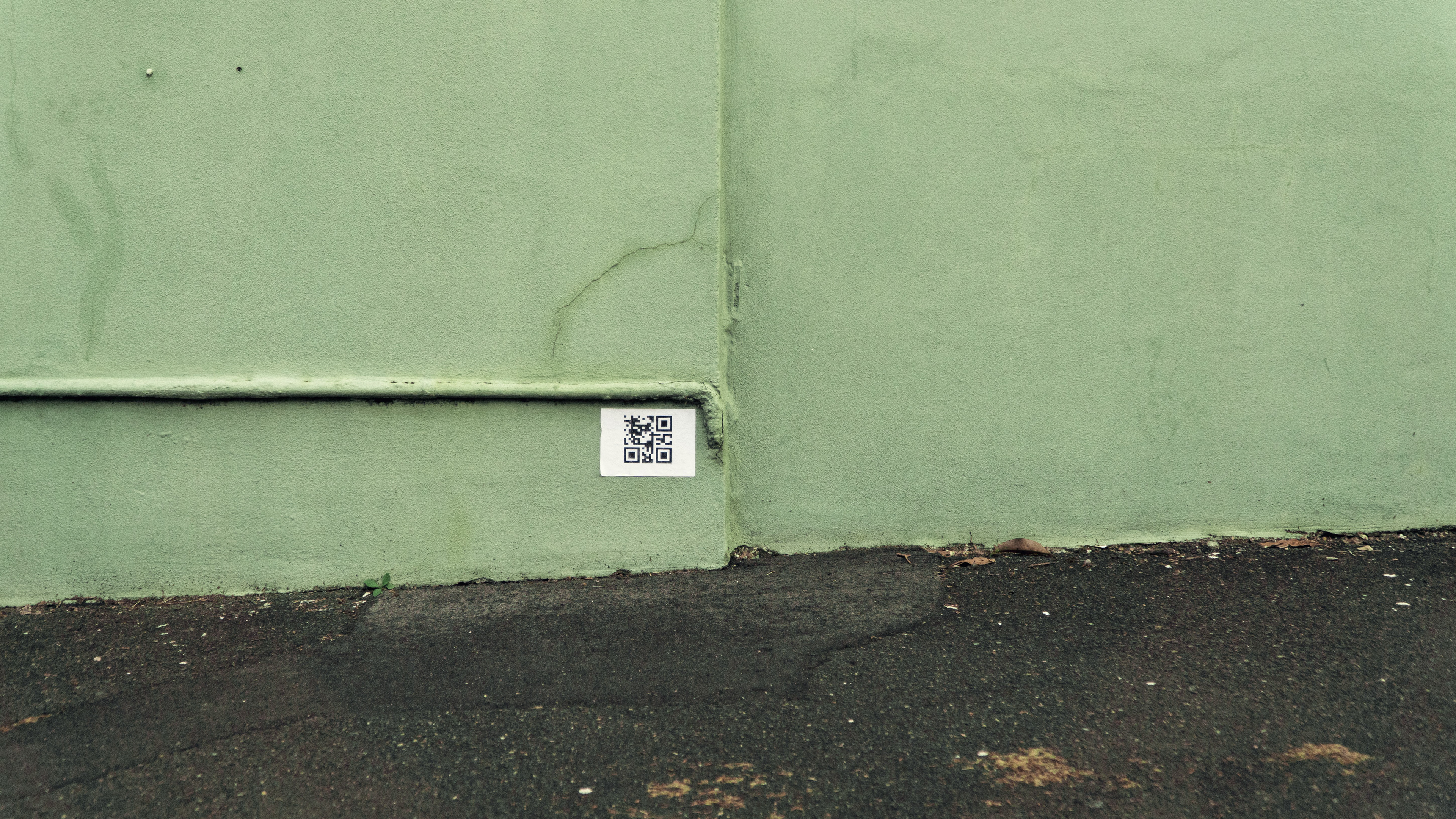
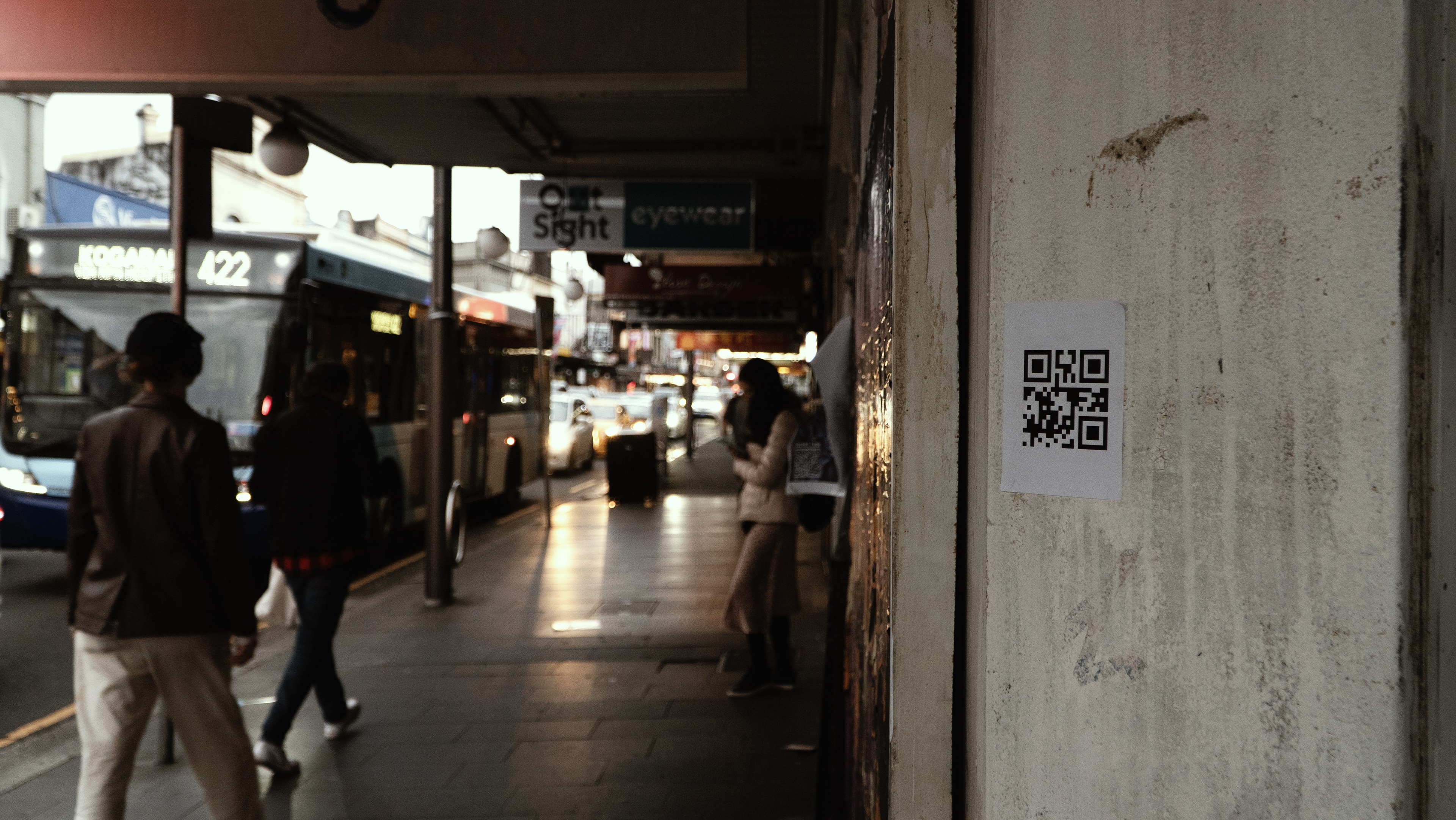
People can use the design by printing QR codes and affixing them through areas in the local community. When placing a QR code, the user (or group) records their personal experience on their phone and uploads it to the database. Other people at the exact location can see the uploaded story in AR and enter the space by scanning the affixed QR code. Users at home or stakeholders outside the town can view these experiences on a map. The associated geological data visualises with a web interface and menu systems about past and future flooding paths.